Horné diery are undisputedly the greatest treasure of the entire Malá Fatra mountains. Experience breathtaking alpine scenery and an authentic hiking adventure on steel ladders right beside rushing waterfalls.
Horné diery feature the richest concentration of waterfalls and water features in the entire canyon system . The route was carved by the Hlboký stream, which tumbles down steep rock terraces forming nine picturesque waterfalls between two and four meters high. Hiking through this gorge is an exhilarating journey—the path navigates an intricate maze of tall steel ladders, chains, wooden walkways, and secured footings . You will climb directly above cascading torrents and pass through narrow rock clefts that leave a lasting impression.
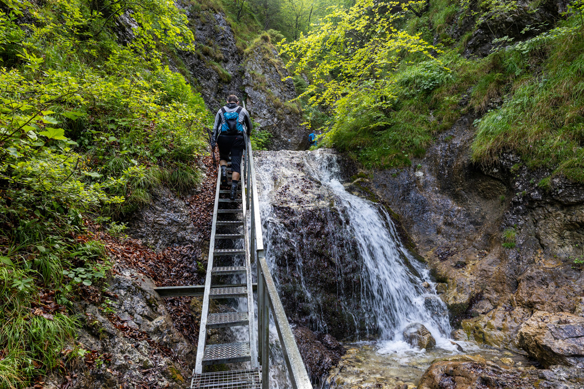
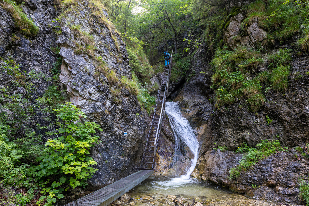
Leaving the Podžiar meadow along the blue-marked trail, you are immediately enveloped by the cool, wild atmosphere of the gorge. The path follows the stream bed boasting the highest concentration of cascades and waterfalls, guiding you upwards across an intricate network of steel walkways and steep ladders.

Towering rock faces draw dramatically close together into a tight canyon. Ahead lies the most technically challenging and photogenic section—scaling a series of exposed ladders and securing chains with the rushing torrent roaring beneath your feet, before emerging from the rock shadows at the Pod Tanečnicou trail junction.
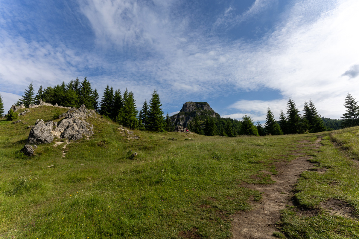
From the Pod Tanečnicou junction, we highly recommend continuing upwards to the Medzirozsutce saddle. The tight ravine opens up and the forest trail emerges onto sun-drenched alpine meadows offering breathtaking vistas of Veľký Rozsutec on one side and Malý Rozsutec on the other.
Before setting out, review the exact route itinerary. The map outlines the circuit starting at Hotel Diery in the Biely Potok settlement, passing the Ostrvné and Podžiar junctions, ascending through Horné diery along the blue trail to the Pod Tanečnicou junction, and looping back down via the green trail over Vrchpodžiar. You can adjust the route to match your preferences and fitness level. The map calculates walking times at an average pace of 4 km/h.